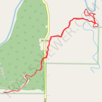
Pine Hills hike
- Distance: 4.7 Km
- Elevation gain: 67 m
- Maximum elevation: 242 m
- Elevation loss: 65 m
- Minimum elevation: 195 m
- Moving time: 1 h 1 m
- Moving speed: 4.6 Km/h
- Maximum speed: 50.1 Km/h
- Total time: 1 h 15 m
- Global speed: 3.7 Km/h
Interactive trail map
Trail profile
- Distance: 4.7 Km
- Elevation gain: 67 m
- Maximum elevation: 242 m
- Elevation loss: 65 m
- Minimum elevation: 195 m
- Moving time: 1 h 1 m
- Moving speed: 4.6 Km/h
- Maximum speed: 50.1 Km/h
- Total time: 1 h 15 m
- Global speed: 3.7 Km/h
About this trail
Name: Pine Hills hike trail, distance, elevation, map, profile, GPS track
Start: SR 234, Deer Mill, Montgomery County, Indiana, 47916, United States (39.93387 -87.05911)
End: Montgomery County, Indiana, United States (39.93080 -87.06545)
Coordinates: 39.93080 -87.06545 39.94208 -87.04876