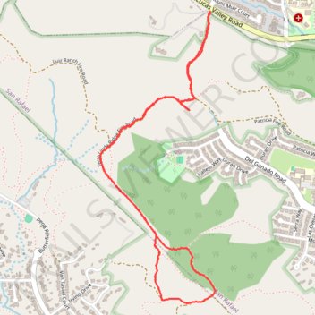
Hike near Lucas Valley
- Distance: 5.3 Km
- Elevation gain: 210 m
- Maximum elevation: 177 m
- Elevation loss: 211 m
- Minimum elevation: 44 m
- Moving time: 1 h 9 m
- Moving speed: 4.6 Km/h
- Maximum speed: 10.3 Km/h
- Total time: 1 h 23 m
- Global speed: 3.8 Km/h
Interactive trail map
Trail profile
- Distance: 5.3 Km
- Elevation gain: 210 m
- Maximum elevation: 177 m
- Elevation loss: 211 m
- Minimum elevation: 44 m
- Moving time: 1 h 9 m
- Moving speed: 4.6 Km/h
- Maximum speed: 10.3 Km/h
- Total time: 1 h 23 m
- Global speed: 3.8 Km/h
About this trail
Name: Hike near Lucas Valley trail, distance, elevation, map, profile, GPS track
Coordinates: 38.01125 -122.58115 38.02664 -122.57346
Other hiking, mountain biking, running and outdoor activity trails
Click on a trail to view its statistics, map and profile.
Point Reyes Loop
United States > California > Marin County > Mill Valley
Distance: 100.3 Km • Elevation gain: 1,900 m • Maximum elevation: 236 m