Green Point
Interactive trail map
Trail profile
- Distance: 13.1 Km
- Elevation gain: 324 m
- Maximum elevation: 80 m
- Elevation loss: 325 m
- Minimum elevation: 1 m
About this trail
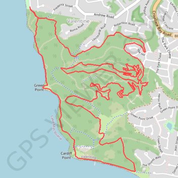
Name: Green Point trail, distance, elevation, map, profile, GPS track
Coordinates: -33.02995 151.62873 -33.01357 151.64272