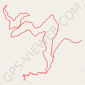
Saddle Mountain trails
Morning Ride
- Distance: 16.3 Km
- Elevation gain: 567 m
- Maximum elevation: 1,364 m
- Elevation loss: 457 m
- Minimum elevation: 1,095 m
- Moving time: 1 h 37 m
- Moving speed: 10.0 Km/h
- Maximum speed: 38.8 Km/h
- Total time: 1 h 59 m
- Global speed: 8.2 Km/h
Interactive trail map
Trail profile
- Distance: 16.3 Km
- Elevation gain: 567 m
- Maximum elevation: 1,364 m
- Elevation loss: 457 m
- Minimum elevation: 1,095 m
- Moving time: 1 h 37 m
- Moving speed: 10.0 Km/h
- Maximum speed: 38.8 Km/h
- Total time: 1 h 59 m
- Global speed: 8.2 Km/h
About this trail
Name: Saddle Mountain trails trail, distance, elevation, map, profile, GPS track
Start: 36142, Saddle Mountain Road, Arlee, Lake County, Montana, 59821, United States (47.16922 -114.12216)
End: 1098, Saddle Mountain Road, Arlee, Lake County, Montana, 59821, United States (47.16376 -114.13591)
Coordinates: 47.15589 -114.16075 47.18109 -114.12212