Four Marks - a run!
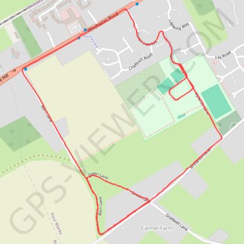
- Distance: 3.3 Km
- Elevation gain: 18 m
- Maximum elevation: 186 m
- Elevation loss: 18 m
- Minimum elevation: 172 m
- Moving time: 17 m 21 s
- Moving speed: 11.2 Km/h
- Maximum speed: 14.0 Km/h
- Total time: 17 m 21 s
- Global speed: 11.2 Km/h
Interactive trail map
Trail profile
- Distance: 3.3 Km
- Elevation gain: 18 m
- Maximum elevation: 186 m
- Elevation loss: 18 m
- Minimum elevation: 172 m
- Moving time: 17 m 21 s
- Moving speed: 11.2 Km/h
- Maximum speed: 14.0 Km/h
- Total time: 17 m 21 s
- Global speed: 11.2 Km/h
About this trail
Name: Four Marks - a run! trail, distance, elevation, map, profile, GPS track
End: Four Marks, East Hampshire, Hampshire, England, GU34 5FD, United Kingdom (51.10525 -1.05581)
Coordinates: 51.10003 -1.06350 51.10696 -1.05373