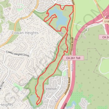
Peters Canyon Regional Park
Interactive trail map
Trail profile
- Distance: 9.2 Km
- Elevation gain: 199 m
- Maximum elevation: 200 m
- Elevation loss: 199 m
- Minimum elevation: 101 m
About this trail
Name: Peters Canyon Regional Park trail, distance, elevation, map, profile, GPS track
Coordinates: 33.75880 -117.77065 33.78523 -117.75868