Yellow Branch Falls Trail in Sumter National Forest
The Yellow Branch Falls Trail offers a picturesque hiking experience with stunning views and a serene atmosphere. The trail winds through lush forests and crosses several streams, leading to the breathtaking Yellow Branch Falls, which cascades dramatically into a rocky pool. Hikers can expect a moderate trek filled with beautiful natural scenery, including wildflowers and wildlife, making it an ideal spot for nature enthusiasts and photography lovers alike. #Hiking #Waterfall #Forest #Nature
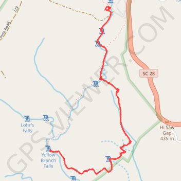
- Distance: 5.2 Km
- Elevation gain: 211 m
- Maximum elevation: 468 m
- Elevation loss: 212 m
- Minimum elevation: 391 m
- Moving time: 1 h 25 m
- Moving speed: 3.6 Km/h
- Maximum speed: 8.2 Km/h
- Total time: 2 h 2 m
- Global speed: 2.5 Km/h
Interactive trail map
Trail profile
- Distance: 5.2 Km
- Elevation gain: 211 m
- Maximum elevation: 468 m
- Elevation loss: 212 m
- Minimum elevation: 391 m
- Moving time: 1 h 25 m
- Moving speed: 3.6 Km/h
- Maximum speed: 8.2 Km/h
- Total time: 2 h 2 m
- Global speed: 2.5 Km/h
About this trail
Name: Yellow Branch Falls Trail in Sumter National Forest trail, distance, elevation, map, profile, GPS track
Coordinates: 34.79318 -83.13414 34.80582 -83.12669