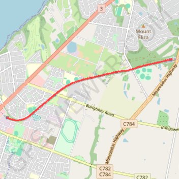
Mornington Tourist Railway
- Distance: 11.1 Km
- Elevation gain: 79 m
- Maximum elevation: 60 m
- Elevation loss: 79 m
- Minimum elevation: 34 m
- Moving time: 39 m 33 s
- Moving speed: 16.8 Km/h
- Maximum speed: 32.3 Km/h
- Total time: 1 h 1 m
- Global speed: 10.8 Km/h
Interactive trail map
Trail profile
- Distance: 11.1 Km
- Elevation gain: 79 m
- Maximum elevation: 60 m
- Elevation loss: 79 m
- Minimum elevation: 34 m
- Moving time: 39 m 33 s
- Moving speed: 16.8 Km/h
- Maximum speed: 32.3 Km/h
- Total time: 1 h 1 m
- Global speed: 10.8 Km/h
About this trail
Name: Mornington Tourist Railway trail, distance, elevation, map, profile, GPS track
Coordinates: -38.23059 145.05011 -38.21376 145.10759
Other hiking, mountain biking, running and outdoor activity trails
Click on a trail to view its statistics, map and profile.