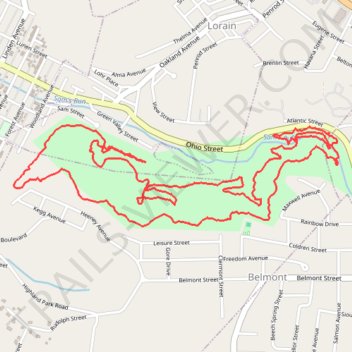
Lorain/Stonycreek Hiking Trails - Map of the Earth Trail
- Distance: 8.0 Km
- Elevation gain: 327 m
- Maximum elevation: 540 m
- Elevation loss: 328 m
- Minimum elevation: 434 m
- Moving time: 2 h 47 m
- Moving speed: 2.9 Km/h
- Maximum speed: 9.4 Km/h
- Total time: 3 h 14 m
- Global speed: 2.5 Km/h
Interactive trail map
Trail profile
- Distance: 8.0 Km
- Elevation gain: 327 m
- Maximum elevation: 540 m
- Elevation loss: 328 m
- Minimum elevation: 434 m
- Moving time: 2 h 47 m
- Moving speed: 2.9 Km/h
- Maximum speed: 9.4 Km/h
- Total time: 3 h 14 m
- Global speed: 2.5 Km/h
About this trail
Name: Lorain/Stonycreek Hiking Trails - Map of the Earth Trail trail, distance, elevation, map, profile, GPS track
Coordinates: 40.28965 -78.90492 40.29434 -78.88513