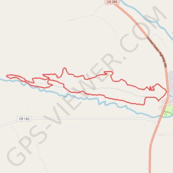
Chalk Creek 2023 Race Lap
- Distance: 10.7 Km
- Elevation gain: 173 m
- Maximum elevation: 2,451 m
- Elevation loss: 173 m
- Minimum elevation: 2,352 m
Interactive trail map
Trail profile
- Distance: 10.7 Km
- Elevation gain: 173 m
- Maximum elevation: 2,451 m
- Elevation loss: 173 m
- Minimum elevation: 2,352 m
About this trail
Name: Chalk Creek 2023 Race Lap trail, distance, elevation, map, profile, GPS track
Start: CR 286, Nathrop, Chaffee County, Colorado, United States (38.74464 -106.08339)
End: CR 286, Nathrop, Chaffee County, Colorado, United States (38.74472 -106.08340)
Coordinates: 38.74387 -106.12470 38.75174 -106.08130
Other hiking, mountain biking, running and outdoor activity trails
Click on a trail to view its statistics, map and profile.
Next Step CO
United States > Colorado > Park County
Distance: 132.9 Km • Elevation gain: 1,985 m • Maximum elevation: 3,005 m