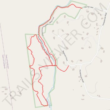
Hunter Brook Preserve loop
- Distance: 3.3 Km
- Elevation gain: 52 m
- Maximum elevation: 94 m
- Elevation loss: 46 m
- Minimum elevation: 72 m
- Moving time: 28 m 20 s
- Moving speed: 7.1 Km/h
- Maximum speed: 15.2 Km/h
- Total time: 29 m 1 s
- Global speed: 6.9 Km/h
Interactive trail map
Trail profile
- Distance: 3.3 Km
- Elevation gain: 52 m
- Maximum elevation: 94 m
- Elevation loss: 46 m
- Minimum elevation: 72 m
- Moving time: 28 m 20 s
- Moving speed: 7.1 Km/h
- Maximum speed: 15.2 Km/h
- Total time: 29 m 1 s
- Global speed: 6.9 Km/h
About this trail
Name: Hunter Brook Preserve loop trail, distance, elevation, map, profile, GPS track
Coordinates: 41.26531 -73.84743 41.27499 -73.84055
Other hiking, mountain biking, running and outdoor activity trails
Click on a trail to view its statistics, map and profile.