Import a GPX file

Krom River Cave - Disa Pool

#Hiking #Loop

  • Distance: 10.7 Km
  • Elevation gain: 302 m
  • Maximum elevation: 1,137 m
  • Elevation loss: 301 m
  • Minimum elevation: 903 m

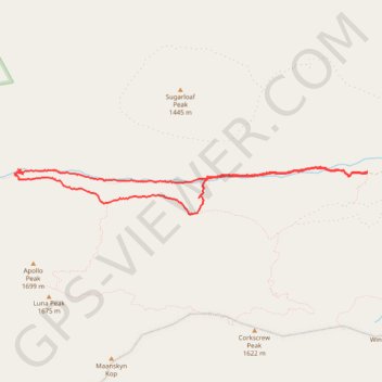
Interactive trail map

Trail profile

  • Distance: 10.7 Km
  • Elevation gain: 302 m
  • Maximum elevation: 1,137 m
  • Elevation loss: 301 m
  • Minimum elevation: 903 m

About this trail

Gear up for your next adventure:

🧳Compression Sacks - Maximize space in your backpack by shrinking gear
🧦Hiking Socks - Moisture-wicking and comfortable socks for long hikes
🧦Crew Hiking Socks - Comfortable socks for long-distance hikes
🍽️Titanium Camping Spork - Ultralight and indestructible eating utensil
💧Hydration Pack - Hands-free hydration system for long hikes

As an Amazon Associate, this site earns from qualifying purchases at no extra cost to you.