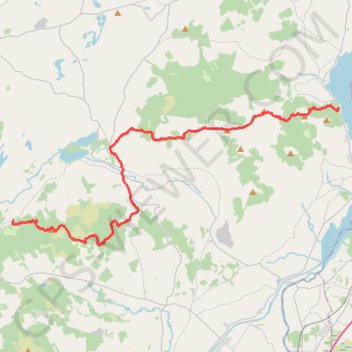
Feenlee Mountain - Moylussa - Cragnamurragh - Knockanuarha
From Twomilegate. #Hiking
- Distance: 29.6 Km
- Elevation gain: 974 m
- Maximum elevation: 528 m
- Elevation loss: 952 m
- Minimum elevation: 32 m
Interactive trail map
Trail profile
- Distance: 29.6 Km
- Elevation gain: 974 m
- Maximum elevation: 528 m
- Elevation loss: 952 m
- Minimum elevation: 32 m
About this trail
Name: Feenlee Mountain - Moylussa - Cragnamurragh - Knockanuarha trail, distance, elevation, map, profile, GPS track
Coordinates: 52.76993 -8.71879 52.83599 -8.46428
Other hiking, mountain biking, running and outdoor activity trails
Click on a trail to view its statistics, map and profile.
Killlaloe MTB trails
Distance: 10.2 Km • Elevation gain: 443 m • Maximum elevation: 378 m