GPX Download: Voie des Vignes à vélo – Volnay Rondje vanuit Santenay-les-Bains
- Distance: 72.4 Km
- Elevation gain: 595 m
- Maximum elevation: 382 m
- Elevation loss: 595 m
- Minimum elevation: 179 m
- Moving time: 4 h 25 m
- Moving speed: 16.4 Km/h
- Maximum speed: 31.1 Km/h
- Total time: 4 h 25 m
- Global speed: 16.4 Km/h
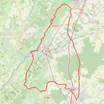
Interactive trail map
Trail profile
- Distance: 72.4 Km
- Elevation gain: 595 m
- Maximum elevation: 382 m
- Elevation loss: 595 m
- Minimum elevation: 179 m
- Moving time: 4 h 25 m
- Moving speed: 16.4 Km/h
- Maximum speed: 31.1 Km/h
- Total time: 4 h 25 m
- Global speed: 16.4 Km/h
About this trail
Name: GPX Download: Voie des Vignes à vélo – Volnay Rondje vanuit Santenay-les-Bains trail, distance, elevation, map, profile, GPS track
Coordinates: 46.80971 4.67988 47.01503 4.85468
Other hiking, mountain biking, running and outdoor activity trails
Click on a trail to view its statistics, map and profile.
PT23DS2 Lörrach → Cadaqués
Germany > Baden-Württemberg > Landkreis Lörrach > Lörrach (Kernstadt)
Distance: 1,050.7 Km • Elevation gain: 13,130 m • Maximum elevation: 1,505 m