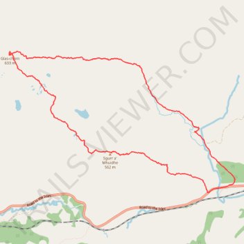
Glas-Charn loop hike
- Distance: 9.3 Km
- Elevation gain: 630 m
- Maximum elevation: 625 m
- Elevation loss: 630 m
- Minimum elevation: 108 m
- Moving time: 3 h 32 m
- Moving speed: 2.6 Km/h
- Maximum speed: 5.9 Km/h
- Total time: 4 h 49 m
- Global speed: 1.9 Km/h
Interactive trail map
Trail profile
- Distance: 9.3 Km
- Elevation gain: 630 m
- Maximum elevation: 625 m
- Elevation loss: 630 m
- Minimum elevation: 108 m
- Moving time: 3 h 32 m
- Moving speed: 2.6 Km/h
- Maximum speed: 5.9 Km/h
- Total time: 4 h 49 m
- Global speed: 1.9 Km/h
About this trail
Name: Glas-Charn loop hike trail, distance, elevation, map, profile, GPS track
Start: Road to the Isles, Highland, Scotland, PH37 4LP, United Kingdom (56.87766 -5.49204)
End: Road to the Isles, Highland, Scotland, PH37 4LP, United Kingdom (56.87764 -5.49213)
Coordinates: 56.87764 -5.53776 56.89525 -5.48614