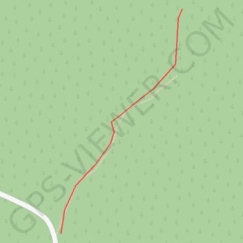
Pasjaca on GPSies.com
- Distance: 0.3 Km
- Elevation gain: 0 m
- Maximum elevation: 1,089 m
- Elevation loss: 64 m
- Minimum elevation: 1,025 m
- Moving time: 1 m 45 s
- Moving speed: 10.4 Km/h
- Maximum speed: 11.8 Km/h
- Total time: 1 m 45 s
- Global speed: 10.4 Km/h
Interactive trail map
Trail profile
- Distance: 0.3 Km
- Elevation gain: 0 m
- Maximum elevation: 1,089 m
- Elevation loss: 64 m
- Minimum elevation: 1,025 m
- Moving time: 1 m 45 s
- Moving speed: 10.4 Km/h
- Maximum speed: 11.8 Km/h
- Total time: 1 m 45 s
- Global speed: 10.4 Km/h
About this trail
Name: Pasjaca on GPSies.com trail, distance, elevation, map, profile, GPS track
Coordinates: 43.94999 19.38421 43.95218 19.38585
Other hiking, mountain biking, running and outdoor activity trails
Click on a trail to view its statistics, map and profile.
2022_Yu
Slovenia > Ajdovščina > Žapuže
Distance: 2,457.3 Km • Elevation gain: 32,048 m • Maximum elevation: 1,950 m