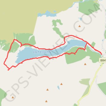
Circuit of Loch Errochty
- Distance: 19.8 Km
- Elevation gain: 416 m
- Maximum elevation: 399 m
- Elevation loss: 417 m
- Minimum elevation: 269 m
- Moving time: 4 h 19 m
- Moving speed: 4.6 Km/h
- Maximum speed: 13.4 Km/h
- Total time: 4 h 51 m
- Global speed: 4.1 Km/h
Interactive trail map
Trail profile
- Distance: 19.8 Km
- Elevation gain: 416 m
- Maximum elevation: 399 m
- Elevation loss: 417 m
- Minimum elevation: 269 m
- Moving time: 4 h 19 m
- Moving speed: 4.6 Km/h
- Maximum speed: 13.4 Km/h
- Total time: 4 h 51 m
- Global speed: 4.1 Km/h
About this trail
Name: Circuit of Loch Errochty trail, distance, elevation, map, profile, GPS track
Start: B847, Drumcroy, Perth and Kinross, Scotland, PH18 5UG, United Kingdom (56.75869 -4.08716)
End: Trinafour, Perth and Kinross, Scotland, PH18 5UG, United Kingdom (56.75864 -4.08714)
Coordinates: 56.74861 -4.20025 56.77069 -4.08705