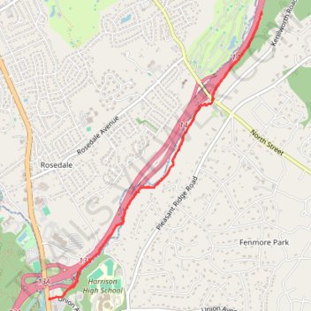
Hutchinson River Pathway
- Distance: 7.4 Km
- Elevation gain: 85 m
- Maximum elevation: 42 m
- Elevation loss: 85 m
- Minimum elevation: 18 m
- Moving time: 1 h 27 m
- Moving speed: 5.1 Km/h
- Maximum speed: 9.4 Km/h
- Total time: 1 h 35 m
- Global speed: 4.6 Km/h
Interactive trail map
Trail profile
- Distance: 7.4 Km
- Elevation gain: 85 m
- Maximum elevation: 42 m
- Elevation loss: 85 m
- Minimum elevation: 18 m
- Moving time: 1 h 27 m
- Moving speed: 5.1 Km/h
- Maximum speed: 9.4 Km/h
- Total time: 1 h 35 m
- Global speed: 4.6 Km/h
About this trail
Name: Hutchinson River Pathway trail, distance, elevation, map, profile, GPS track
Coordinates: 40.98189 -73.74371 41.00657 -73.71955
Other hiking, mountain biking, running and outdoor activity trails
Click on a trail to view its statistics, map and profile.