Import a GPX file

Hopton Woods - Mountain Bike Ride

One lap of the Pearce XC Red Route at Hopton Woods
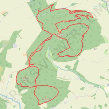
  • Distance: 17.7 Km
  • Elevation gain: 564 m
  • Maximum elevation: 381 m
  • Elevation loss: 564 m
  • Minimum elevation: 207 m

Interactive trail map

Trail profile

  • Distance: 17.7 Km
  • Elevation gain: 564 m
  • Maximum elevation: 381 m
  • Elevation loss: 564 m
  • Minimum elevation: 207 m

About this trail

Name: Hopton Woods - Mountain Bike Ride trail, distance, elevation, map, profile, GPS track

Start: Hopton Wood, Daves Start, Hopton Castle, Shropshire, England, SY7 0QG, United Kingdom (52.39441 -2.95994)

End: Hopton Wood, Daves Start, Hopton Castle, Shropshire, England, SY7 0QG, United Kingdom (52.39427 -2.95980)

Coordinates: 52.37006 -2.96913 52.39589 -2.93690

Gear up for your next adventure:

🦟Insect Repellent - Keep mosquitoes and black flies away in wooded areas
🛶Waterproof Dry Bags - Keep electronics and clothes dry during river crossings
🧴First Aid Kit - Essential first aid supplies for outdoor emergencies
🧭Orienteering Kit - Tools for map reading and navigation in the wild
🧦Thermal Socks - Warm socks for winter hiking or camping

As an Amazon Associate, this site earns from qualifying purchases at no extra cost to you.