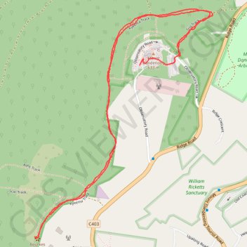
Kyeema Track - Bourke's Lookout
Interactive trail map
Trail profile
- Distance: 4.2 Km
- Elevation gain: 147 m
- Maximum elevation: 620 m
- Elevation loss: 139 m
- Minimum elevation: 544 m
- Moving time: 56 m 30 s
- Moving speed: 4.4 Km/h
- Maximum speed: 9.5 Km/h
- Total time: 1 h 9 m
- Global speed: 3.6 Km/h
About this trail
Name: Kyeema Track - Bourke's Lookout trail, distance, elevation, map, profile, GPS track
Coordinates: -37.83488 145.34665 -37.82523 145.35617
Other hiking, mountain biking, running and outdoor activity trails
Click on a trail to view its statistics, map and profile.
Dandenong Ranges National Park Ridgewalk
Australia > Victoria > Melbourne > Tremont
Distance: 22.1 Km • Elevation gain: 1,002 m • Maximum elevation: 591 m
Ferny Creek ride
Australia > Victoria > Melbourne
Distance: 36.9 Km • Elevation gain: 960 m • Maximum elevation: 531 m