EMTB Gravel: Loch a' Choire loop
To Loch a' Choire beneath Ben Vrackie #UK #Perthshire #Pitlochry
- Distance: 6.7 Km
- Elevation gain: 310 m
- Maximum elevation: 534 m
- Elevation loss: 368 m
- Minimum elevation: 179 m
- Moving time: 1 h 4 m
- Moving speed: 6.2 Km/h
- Maximum speed: 22.6 Km/h
- Total time: 1 h 31 m
- Global speed: 4.4 Km/h
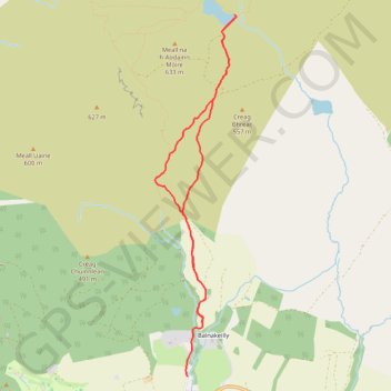
Interactive trail map
Trail profile
- Distance: 6.7 Km
- Elevation gain: 310 m
- Maximum elevation: 534 m
- Elevation loss: 368 m
- Minimum elevation: 179 m
- Moving time: 1 h 4 m
- Moving speed: 6.2 Km/h
- Maximum speed: 22.6 Km/h
- Total time: 1 h 31 m
- Global speed: 4.4 Km/h
About this trail
Name: EMTB Gravel: Loch a' Choire loop trail, distance, elevation, map, profile, GPS track
Coordinates: 56.71545 -3.73193 56.74277 -3.72074
Other hiking, mountain biking, running and outdoor activity trails
Click on a trail to view its statistics, map and profile.
Loop hillwalk to Ben Vrackie and Meall an Daimh from Moulin Pitlochry
United Kingdom > Scotland > Perth and Kinross > Moulin > Balnakeilly
Distance: 12.3 Km • Elevation gain: 809 m • Maximum elevation: 833 m
EMTB Gravel: Pitlochry Highlights - Loop
United Kingdom > Scotland > Perth and Kinross > Pitlochry
Distance: 16.3 Km • Elevation gain: 559 m • Maximum elevation: 449 m
Loch Tummel Loop
United Kingdom > Scotland > Perth and Kinross > Pitlochry
To Escape Route Cafe UK, Perthshire, Loch Tummel
Distance: 46.3 Km • Elevation gain: 819 m • Maximum elevation: 289 m