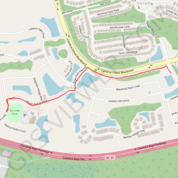
Black Creek to Ten Oaks Park
- Distance: 1.8 Km
- Elevation gain: 4 m
- Maximum elevation: 8 m
- Elevation loss: 4 m
- Minimum elevation: 6 m
- Moving time: 32 m 51 s
- Moving speed: 3.2 Km/h
- Maximum speed: 9.5 Km/h
- Total time: 34 m 21 s
- Global speed: 3.1 Km/h
Interactive trail map
Trail profile
- Distance: 1.8 Km
- Elevation gain: 4 m
- Maximum elevation: 8 m
- Elevation loss: 4 m
- Minimum elevation: 6 m
- Moving time: 32 m 51 s
- Moving speed: 3.2 Km/h
- Maximum speed: 9.5 Km/h
- Total time: 34 m 21 s
- Global speed: 3.1 Km/h
About this trail
Name: Black Creek to Ten Oaks Park trail, distance, elevation, map, profile, GPS track
Coordinates: 33.75161 -78.88806 33.75469 -78.87496