Gibraltar Rock and Paul Lake North Shore Trail
- Distance: 3.3 Km
- Elevation gain: 37 m
- Maximum elevation: 940 m
- Elevation loss: 184 m
- Minimum elevation: 773 m
- Moving time: 53 m 31 s
- Moving speed: 3.7 Km/h
- Maximum speed: 7.3 Km/h
- Total time: 1 h 10 m
- Global speed: 2.8 Km/h
Interactive trail map
Trail profile
- Distance: 3.3 Km
- Elevation gain: 37 m
- Maximum elevation: 940 m
- Elevation loss: 184 m
- Minimum elevation: 773 m
- Moving time: 53 m 31 s
- Moving speed: 3.7 Km/h
- Maximum speed: 7.3 Km/h
- Total time: 1 h 10 m
- Global speed: 2.8 Km/h
About this trail
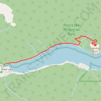
Name: Gibraltar Rock and Paul Lake North Shore Trail trail, distance, elevation, map, profile, GPS track
Coordinates: 50.73609 -120.15965 50.74233 -120.12799
Topography: Area P (Rivers and the Peaks) topographic map, elevation, terrain
Other hiking, mountain biking, running and outdoor activity trails
Click on a trail to view its statistics, map and profile.