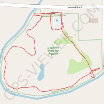
Trails and parking at Mooreville Riverbend Preserve in Mooreville, MI
- Distance: 1.1 Km
- Elevation gain: 5 m
- Maximum elevation: 220 m
- Elevation loss: 5 m
- Minimum elevation: 215 m
- Moving time: 11 m 11 s
- Moving speed: 5.7 Km/h
- Maximum speed: 10.4 Km/h
- Total time: 11 m 11 s
- Global speed: 5.7 Km/h
Interactive trail map
Trail profile
- Distance: 1.1 Km
- Elevation gain: 5 m
- Maximum elevation: 220 m
- Elevation loss: 5 m
- Minimum elevation: 215 m
- Moving time: 11 m 11 s
- Moving speed: 5.7 Km/h
- Maximum speed: 10.4 Km/h
- Total time: 11 m 11 s
- Global speed: 5.7 Km/h
About this trail
Name: Trails and parking at Mooreville Riverbend Preserve in Mooreville, MI trail, distance, elevation, map, profile, GPS track
Coordinates: 42.10099 -83.73680 42.10289 -83.73369