Import a GPX file

Castle Rock

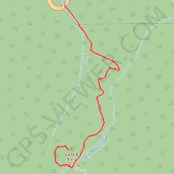
Hike to the Castle Rock from Big Bear Lake along the Castle Rock Creek in the San Bernardino National Forest. #Hiking #Mountain #Forest #River #Lake #Nature

  • Distance: 1.2 Km
  • Elevation gain: 161 m
  • Maximum elevation: 2,254 m
  • Elevation loss: 6 m
  • Minimum elevation: 2,093 m

Interactive trail map

Trail profile

  • Distance: 1.2 Km
  • Elevation gain: 161 m
  • Maximum elevation: 2,254 m
  • Elevation loss: 6 m
  • Minimum elevation: 2,093 m

About this trail
Gear up for your next adventure:

👟Sport Hiking Sandals - Breathable footwear for water crossings and camp rest
🪑Insulated Seat Pad - Protect your seat from cold rocks and wet logs
🛰️Satellite Messenger - Emergency communication for areas with no cell service
🥾Mountaineering Boots - Supportive boots for climbing and high-altitude hiking
🧳Compression Sacks - Maximize space in your backpack by shrinking gear

As an Amazon Associate, this site earns from qualifying purchases at no extra cost to you.