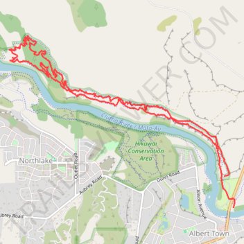
Deans Bank Track in Dublin Bay-Outlet-Albert Town Recreation Reserve, Wanaka
- Distance: 11.4 Km
- Elevation gain: 241 m
- Maximum elevation: 345 m
- Elevation loss: 234 m
- Minimum elevation: 281 m
- Moving time: 2 h 49 m
- Moving speed: 4.0 Km/h
- Maximum speed: 7.6 Km/h
- Total time: 2 h 57 m
- Global speed: 3.9 Km/h
Interactive trail map
Trail profile
- Distance: 11.4 Km
- Elevation gain: 241 m
- Maximum elevation: 345 m
- Elevation loss: 234 m
- Minimum elevation: 281 m
- Moving time: 2 h 49 m
- Moving speed: 4.0 Km/h
- Maximum speed: 7.6 Km/h
- Total time: 2 h 57 m
- Global speed: 3.9 Km/h
About this trail
Name: Deans Bank Track in Dublin Bay-Outlet-Albert Town Recreation Reserve, Wanaka trail, distance, elevation, map, profile, GPS track
Coordinates: -44.68030 169.15399 -44.65997 169.19156
Other hiking, mountain biking, running and outdoor activity trails
Click on a trail to view its statistics, map and profile.