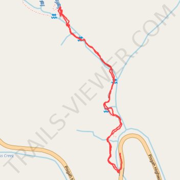
Moore Cove Falls hike
- Distance: 2.3 Km
- Elevation gain: 99 m
- Maximum elevation: 820 m
- Elevation loss: 103 m
- Minimum elevation: 756 m
- Moving time: 25 m 41 s
- Moving speed: 5.5 Km/h
- Maximum speed: 15.6 Km/h
- Total time: 45 m 23 s
- Global speed: 3.1 Km/h
Interactive trail map
Trail profile
- Distance: 2.3 Km
- Elevation gain: 99 m
- Maximum elevation: 820 m
- Elevation loss: 103 m
- Minimum elevation: 756 m
- Moving time: 25 m 41 s
- Moving speed: 5.5 Km/h
- Maximum speed: 15.6 Km/h
- Total time: 45 m 23 s
- Global speed: 3.1 Km/h
About this trail
Name: Moore Cove Falls hike trail, distance, elevation, map, profile, GPS track
Start: US 276, Transylvania County, North Carolina, United States (35.30483 -82.77448)
Coordinates: 35.30469 -82.77774 35.31186 -82.77439