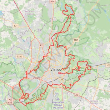
VIKING_TR001
- Distance: 107.9 Km
- Elevation gain: 2,043 m
- Maximum elevation: 217 m
- Elevation loss: 1,992 m
- Minimum elevation: 79 m
Interactive trail map
Trail profile
- Distance: 107.9 Km
- Elevation gain: 2,043 m
- Maximum elevation: 217 m
- Elevation loss: 1,992 m
- Minimum elevation: 79 m
About this trail
Name: VIKING_TR001 trail, distance, elevation, map, profile, GPS track
Coordinates: 54.62239 25.17101 54.80233 25.39200
Other hiking, mountain biking, running and outdoor activity trails
Click on a trail to view its statistics, map and profile.
Vilniaus TV bokštas to Vilnius 11301
Lithuania > Vilnius County > Vilnius
Distance: 50.3 Km • Elevation gain: 756 m • Maximum elevation: 217 m
Vilnius 11301 to 54.688170
Lithuania > Vilnius County > Vilnius
Distance: 21.3 Km • Elevation gain: 340 m • Maximum elevation: 194 m