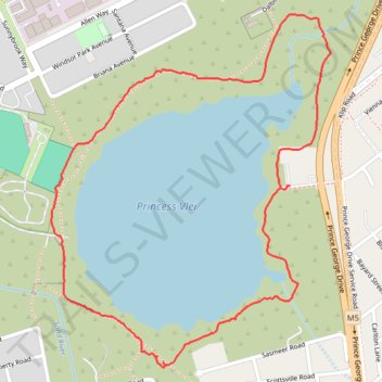
Princess Vlei Loop Trail
- Distance: 3.1 Km
- Elevation gain: 12 m
- Maximum elevation: 12 m
- Elevation loss: 13 m
- Minimum elevation: 7 m
- Moving time: 1 h 38 s
- Moving speed: 3.1 Km/h
- Maximum speed: 6.6 Km/h
- Total time: 1 h 26 m
- Global speed: 2.1 Km/h
Interactive trail map
Trail profile
- Distance: 3.1 Km
- Elevation gain: 12 m
- Maximum elevation: 12 m
- Elevation loss: 13 m
- Minimum elevation: 7 m
- Moving time: 1 h 38 s
- Moving speed: 3.1 Km/h
- Maximum speed: 6.6 Km/h
- Total time: 1 h 26 m
- Global speed: 2.1 Km/h
About this trail
Name: Princess Vlei Loop Trail trail, distance, elevation, map, profile, GPS track
Coordinates: -34.05213 18.47894 -34.04358 18.48709