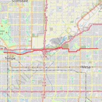
Mesa to Tempe Town Lake via stadium connector path
- Distance: 14.1 Km
- Elevation gain: 44 m
- Maximum elevation: 388 m
- Elevation loss: 76 m
- Minimum elevation: 347 m
Interactive trail map
Trail profile
- Distance: 14.1 Km
- Elevation gain: 44 m
- Maximum elevation: 388 m
- Elevation loss: 76 m
- Minimum elevation: 347 m
About this trail
Name: Mesa to Tempe Town Lake via stadium connector path trail, distance, elevation, map, profile, GPS track
Coordinates: 33.42979 -111.94893 33.43870 -111.81413