
Strathcona County, Alberta, Canada trails
Click on a trail to view its statistics, map and profile.
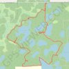
Ministik Lake Game Bird Sanctuary
Canada > Alberta > Strathcona County
Trails
Distance: 7.3 Km • Elevation gain: 54 m • Maximum elevation: 774 m
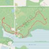
Strathcona Wilderness Center
Canada > Alberta > Strathcona County
Distance: 5.6 Km • Elevation gain: 37 m • Maximum elevation: 770 m
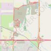
Cambrian Crossing
Canada > Alberta > Strathcona County > Sherwood Park
Distance: 7.8 Km • Elevation gain: 68 m • Maximum elevation: 686 m