
Chamonix-Mont-Blanc trails
Click on a trail to view its statistics, map and profile.
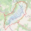
Ultra-Trail du Mont Blanc (UTMB)
France > Auvergne-Rhône-Alpes > Upper Savoy > Chamonix-Mont-Blanc
Distance: 167.8 Km • Elevation gain: 10,450 m • Maximum elevation: 2,535 m
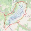
UTMB 2020
France > Auvergne-Rhône-Alpes > Upper Savoy > Chamonix-Mont-Blanc > Les Bossons
Total: 171.3km
Distance: 168.1 Km • Elevation gain: 10,526 m • Maximum elevation: 2,574 m
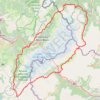
TTdMB-1 Tour Du Mont Blanc - Itinéraire Principal
France > Auvergne-Rhône-Alpes > Upper Savoy > Chamonix-Mont-Blanc
Distance: 166.0 Km • Elevation gain: 10,535 m • Maximum elevation: 2,537 m
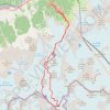
Mont Blanc par les Grands Mulets
France > Auvergne-Rhône-Alpes > Upper Savoy > Chamonix-Mont-Blanc > Les Bossons
Distance: 25.6 Km • Elevation gain: 3,832 m • Maximum elevation: 4,799 m